

This post contains affiliate links. If you buy something through these links, I may earn a small commission at no extra cost to you. I only recommend gear I’ve actually used out on the trails and really loved! Read my full disclaimer.
Main Range National Park is on Githabul, Yuggera and Ugarapul Country. I recognise the Traditional Custodians who met and continue to meet in this area and their ongoing connection to Country. I pay my respects to their Elders past and present.
Beyond the stunning Gold Coast hinterland lies the equally stunning Scenic Rim—a landscape marked by rugged plateaus, steep cliffs and peaks, lush rainforest pockets and sprawling, wide valleys.
After Lamington National Park and Girraween National Park, Main Range is probably one of our favourite weekend getaways for a healthy dose of hiking in South East Queensland while being surrounded by extremely chatty birds.
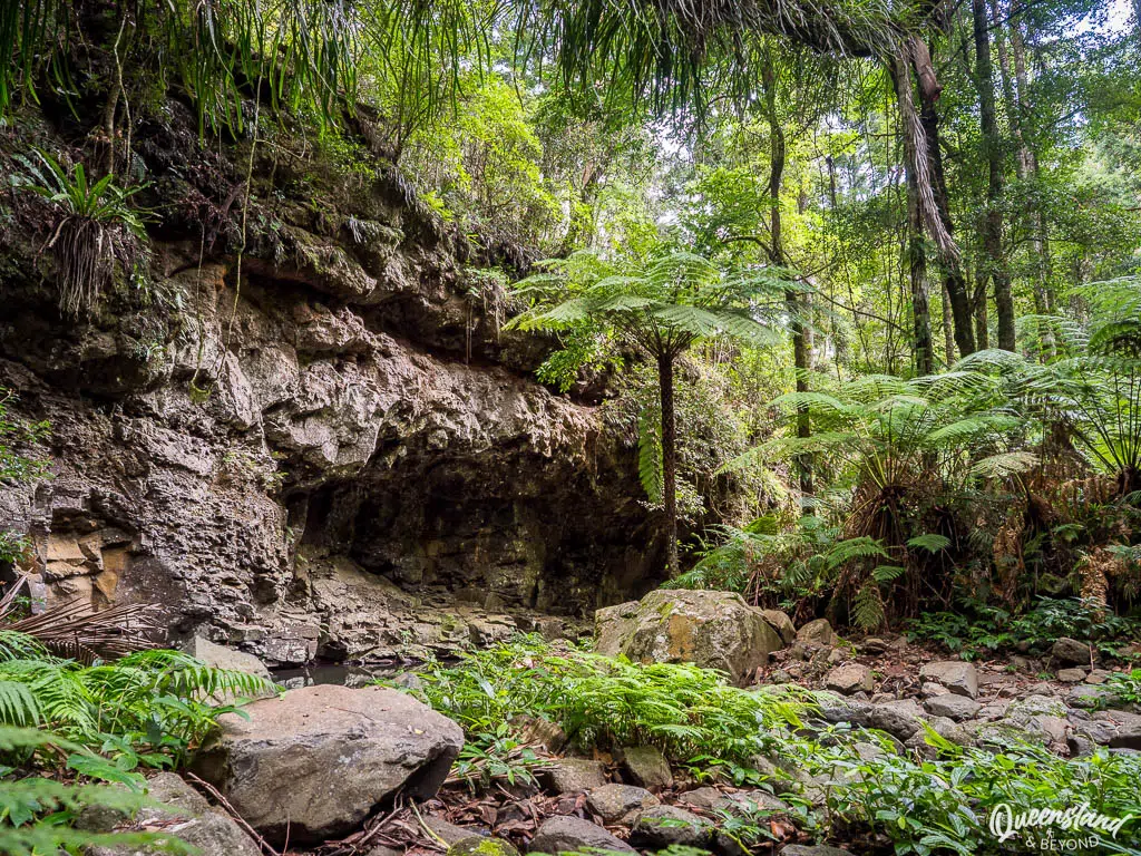
MAIN RANGE NATIONAL PARK: TIPS FOR YOUR FIRST VISIT
MAIN RANGE NATIONAL PARK AT A GLANCE
Main Range National Park covers a narrow but long stretch of escarpment that runs north to south of the Cunningham Highway at Cunninghams Gap.
There are four distinct sections and access points (Cunninghams Gap, Spicers Gap, Goomburra and Queen Mary Falls) none of which are connected via internal park roads. In other words, you’ll have to drive back out to the main highway to head around to another section. And if you want to visit them all, you’ll need more than a weekend.
Most of the park is easily accessible without a 4WD vehicle, in fact it’s one of the best 2WD national parks in Queensland. That also means it’s a very popular destination in the Scenic Rim region, and parking at Cunninghams Gap can become an utter nightmare.
BEST TIME TO VISIT
Main Range can be a great spot for hiking and camping year round but being at elevation, it is noticeably frostier over the winter.
Summer tends to be warm to hot (high 20°Cs to mid-30°Cs) with potentially high humidity but nights can still cool down to 10-15°C, making camping much more bearable. If the days are particularly hot, avoid the exposed ridge trails and just hike the rainforest tracks in the early morning.
Most rain falls over the summer months, and in late spring there can be explosive thunderstorms so watch the weather alerts if you’re out during that time of year.
Winter, on the other hand, is reasonably cold at night with average (night time) temperatures around 5°C. During the day, you’ll most likely have blue skies and sunny weather into the low 20°Cs, and with far less humidity than what the summer months bring.
Like for pretty much all of the South East, the shoulder seasons are my favourite—it’s a bit cooler then during the day but not frosty at night, nor too steamy or baking on the ridge trails yet.
HOW TO GET TO MAIN RANGE
Located about 110km south-west of Brisbane (1.5 hour-drive), the most popular hiking section of Main Range at Cunninghams Gap is still within easy reach for a day walk or a long weekend.
With the Cunningham Highway bisecting the northern and southern parts of the park at Cunninghams Gap, and some sections being much further than others, the main thing you’ll need to work out is where you want to camp or hike:
- Spicers Gap (~110km from Brisbane): Turn off before you reach Cunninghams Gap via the Cunningham Highway and Spicers Gap Road (about 5km past Aratula)—note that it’s not accessible in a standard 2WD
- Cunninghams Gap (~110km from Brisbane): Right at the gap on the Cunningham Highway
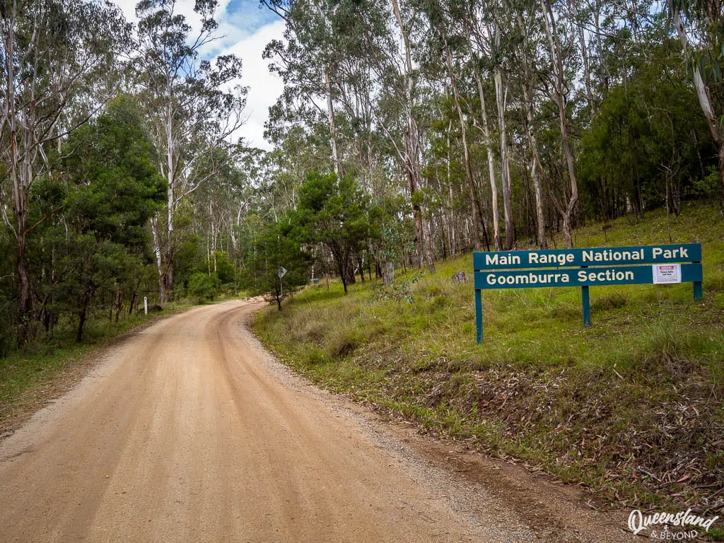
- Goomburra (~170km from Brisbane): Turn off after you’ve gone through Cunninghams Gap via the highway and Goomburra Road—the last 6km are unsealed but usually 2WD-accessible (just watch the rain)
- Queen Mary Falls (~150km from Brisbane): Not on the Cunningham Highway at all but further south almost on the border to NSW; reached via Boonah (Ipswich-Boonah Road), which involves a steep climb unsuitable for caravans, or a massive detour via Killarney (~195km from Brisbane) that’s less steep but equally as scenic
HOW MUCH TIME TO PLAN
Main Range covers a large geographic area with the access points dotted across the range. You can combine quite a few of the walking tracks but you’ll still need more than a long weekend if you want to explore multiple sections and also drive the Condamine River Road.
Here’s some guidance for planning your time:
- 2-3 days to explore the trails at Spicers Gap and/or Cunninghams Gap
- 1-2 days to explore the trails at Goomburra (fewer and shorter)
- 1 day to visit Queen Mary Falls and take the Falls Drive or Condamine River Road
If you also want to relax in your campsite and not just speed-hike all day, then definitely plan a long weekend so you’ll have some downtime.
While we’re no strangers to cramming in as much as possible, we tend to just camp in one section and hike the trails around that particular section.
Note that if you want to hike the tracks at Cunninghams Gap, the Spicers Gap camping area is closest for camping. In fact, you can see Cunninghams Gap from along the trails at Spicers Gap but the driving distance means a 30km one-way trip that can take a bit of time.
CAMPING AT MAIN RANGE
Main Range has three vehicle-based camping areas in the national park: Spicers Gap (AWD/4WD-only) near Cunninghams Gap, and Poplars Flats and Manna Gum in the Goomburra section.
The QPWS website is a bit confusing regarding Spicers Gap access so to be clear, the road is unsealed, steep in some sections and prone to washouts. Definitely unsuitable for caravans and standard 2WD vehicles.
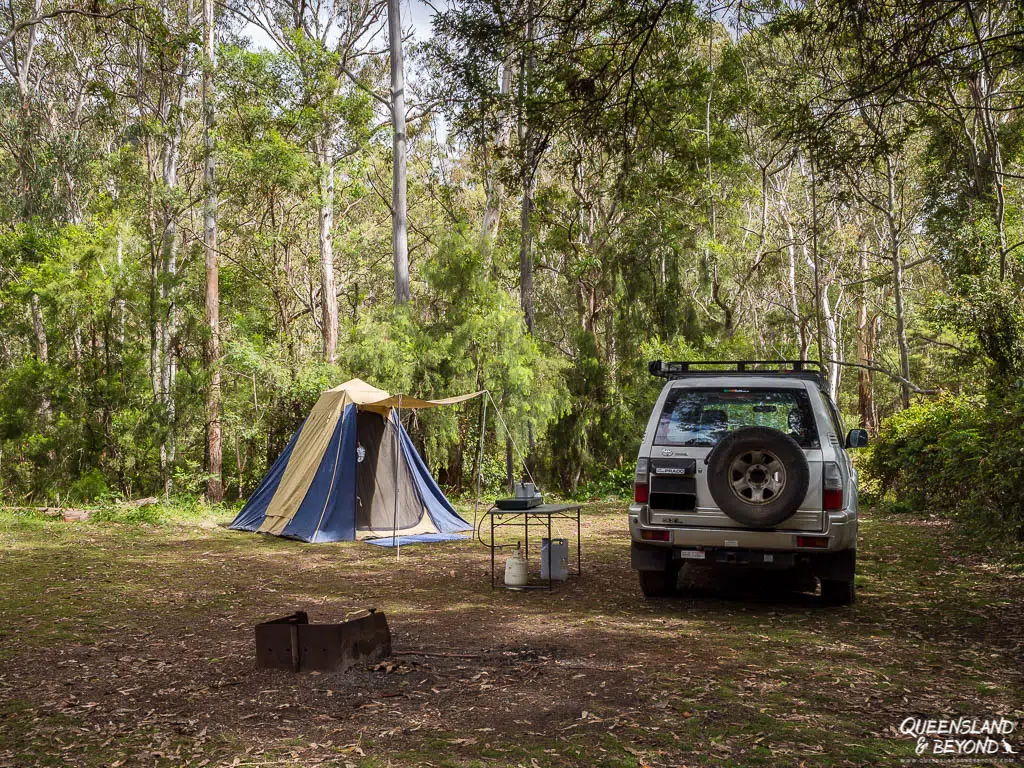
All three camping areas have drop toilets and (non-potable) water.
Need help choosing a campsite? Take a look at my detailed Main Range Camping Guide where I discuss specific campsites, layouts and facilities for the three vehicle-based camping areas.
A FEW HANDY THINGS TO PACK FOR MAIN RANGE
You’re not that far off the beaten track at Main Range so you don’t need to be ridiculously over-prepared. It does, however, pay to have a few essentials on hand, including a first-aid kit, when you’re out hiking.
Essentials for Main Range
HIKING AT MAIN RANGE
The walking trails at Main Range vary from spectacular peak trails with views across the escarpments and into the sprawling flatlands below to vibrant rainforest circuits, and tracks that are more ‘exercise’ than scenic bush walks.
It’s a popular national park so don’t expect to find yourself on your own, especially on the peak trails. But there are plenty of walks to choose from, and if you start early, the crowds are fewer, the views are better (less haze) and the birds provide a complimentary morning concert.
CUNNINGHAMS GAP
You’ll find the heaviest crowds at Cunninghams Gap (and Queen Mary Falls) so mid-week, early morning, outside of peak times will all make it much more enjoyable—and you may even get a parking spot at The Crest day-use area.
Note: The Crest only has a very small car park and parking here can turn into mayhem. People often end up parking on the side of the road but the Cunningham is a really busy highway so take care when doing that.
Alternatively, park at West Gap Creek picnic area but you’ll then face an additional 2.5km walk each way along Box Forest Track to reach The Crest. On the positive side, you’ll ‘tick off’ another walk in the process.
1. RAINFOREST CIRCUIT
Rainforest Circuit At a Glance
If you haven’t got much time or energy, this is a quick and easy circuit to see a beautiful stand of piccabeen palms. Early morning is best as the whip birds are out in force then.

2. MOUNT CORDEAUX
Mount Cordeaux At a Glance
A steep enough climb to just below the summit (1,135m), Mount Cordeaux is probably the most popular hike at Main Range—rivalled only by Mount Mitchell and maybe the Queen Mary Falls loop.
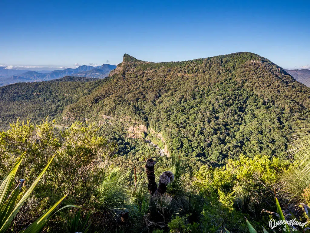
The track initially follows the Rainforest Circuit, which is really lovely in the early morning, and then climbs and climbs until you reach a lookout area just below the summit (this is not a summit climb, just to be clear). You’ll be rewarded with views of Mount Mitchell, the Cunningham Highway snaking below and towards Lake Moogerah in the distance.
On a clear day, you can see far past the ranges and valleys laid out before you. Remember that the summer humidity will make everything hazy. Plus the trail is relatively exposed so hike early.
3. BARE ROCK & MORGANS WALK
Bare Rock At a Glance
The Bare Rock and Morgans Walk hike is actually just a continuation of the Mount Cordeaux track. So instead of turning around at the Mount Cordeaux Lookout, you’ll continue along the ridge northwards.
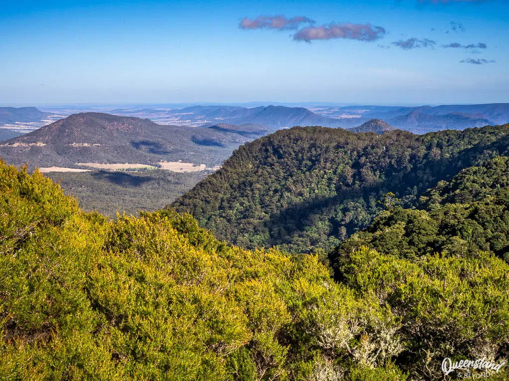
Along the way, you’ll get some lovely views of the Main Range and back towards the summit of Mount Cordeaux but the end for either of these walks (they split right at the end) is nothing to write home about.
The trail eventually connects through to the Goomburra section if you were to keep going (it’s the last section of the multi-day Scenic Rim Trail).
4. MOUNT MITCHELL
Mount Mitchell At a Glance
Across the highway is where you’ll find the trailhead for Mount Mitchell, the other peak trail you can climb at Cunninghams Gap. Unlike Mount Cordeaux, you will actually reach the summit here.
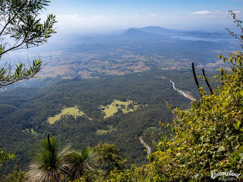
Initially, the track takes you through rainforest and drier woodland as it steadily ascends before winding around to the summit of the eastern peak (1,175m). The Mount Mitchell hike is a longer and more strenuous walk than Mount Cordeaux, especially on a warm day with the sun out.
On the flip side, you’ll actually reach a summit and get to survey the sprawling valleys and surrounding peaks around you.
5. OTHER SHORT WALKS AT CUNNINGHAMS GAP
There used to be more hikes at Cunninghams Gap, including the once lovely Palm Grove Circuit, but they have been quietly decommissioned and are no longer maintained due to being located on the less stable eastern side of the range. But here’s two more trails for you:
- Fassifern Valley Lookout—Grade 3 (easy), 500m return: For a low-effort viewpoint at Cunninghams Gap, head to Fassifern Valley Lookout on the Rainforest Circuit
- Box Forest Track—Grade 3 (easy), 5km return: A linking track along West Gap Creek from West Gap Creek day-use area to The Crest car park at Cunninghams Gap. Pleasant walk in itself or use it if you can’t get a car park at The Crest. Return the same way.
SPICERS GAP
Spicers Gap doesn’t have the wow factor that the Cunninghams Gap tracks have, and most people probably only hike here if they also camp at Spicers Gap (the unsealed section of the road in is a bit of pain). There’s really only one hike and a lookout worth exploring.
1. MOUNT MATHIESON
Mount Mathieson At a Glance
The Mount Mathieson track doesn’t offer the spectacular views you get from Mount Cordeaux or Mount Mitchell but it’s a quieter alternative if you want to escape the masses. It’s mostly along the edge of eucalypt forest and so offers more shade on a hot day.
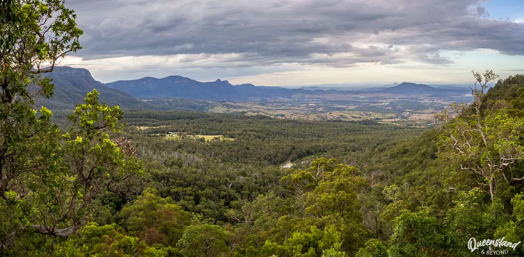
You’ll still get some intermittent views into the surrounding lowlands and towards the Main Range but you’re at a lower elevation so it’s not quite as impressive.
If you don’t want to walk back the same way (as QPWS suggest), continue along the Heritage Trail to Spicers Gap, and then the road to create a loop back to the Pioneer day-use area / Spicers Gap camping area.
2. HERITAGE TRAIL
Heritage Trail At a Glance
The Heritage Trail is along an old vehicle track and in itself not the most exciting walk, though there are interesting interpretive signs about the history of this area being a timber reserve once upon a time.
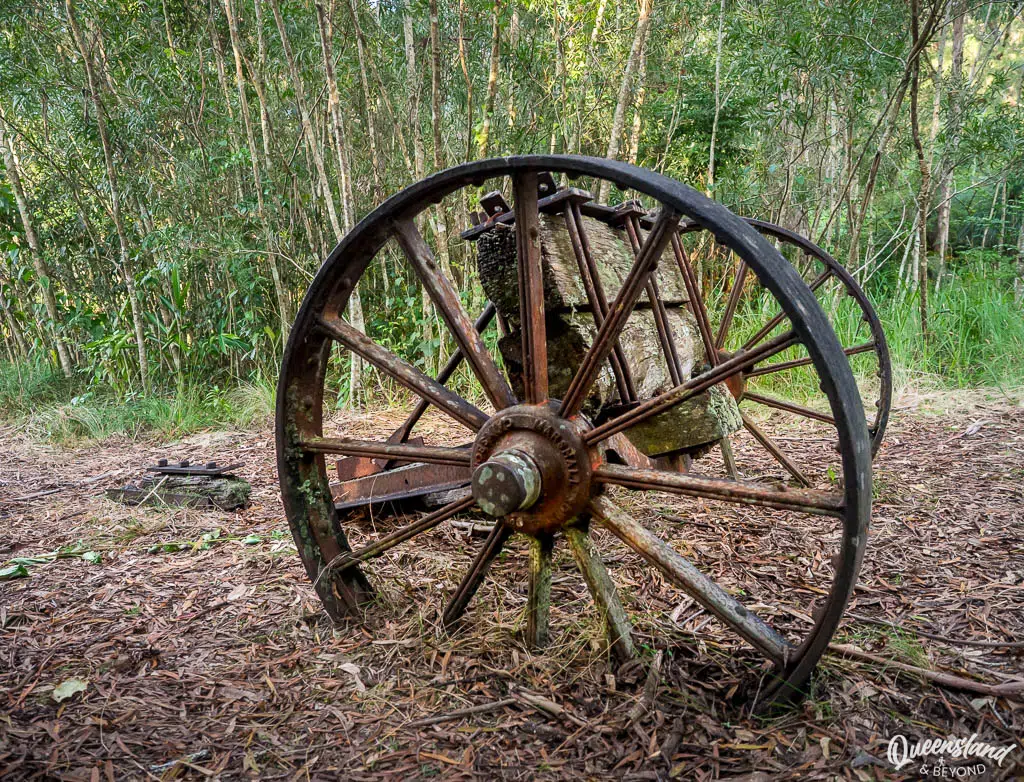
I’d combine this track with the Mount Mathieson one to create a loop walk; otherwise it’s probably one to give a miss—unless you’re particularly interested in learning more about the local history and finding transport relics from a bygone area.
3. OTHER SHORT WALKS & LOOKOUTS AT SPICERS GAP
As I said, there’s really only one walk at Spicers Gap but here are a couple of other spots you could stop at, none will take you very long.
- Pioneer Graves—Grade 2 (very easy), 260m return: The site of early pioneer graves, now marked by a stone monument; the actual graves have vanished
- Moss’s Well—Grade 2 (very easy), 160m return: The most unimpressive site of the lot (in my opinion), a natural spring in the bush named after the first road contractor
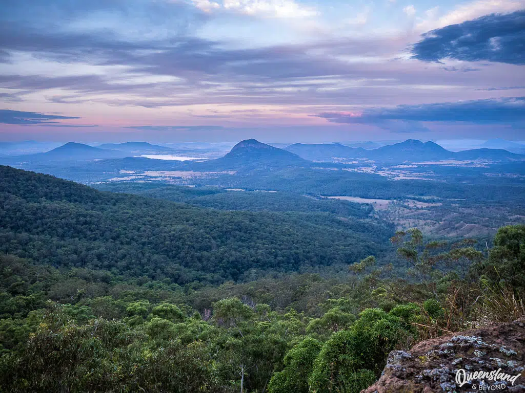
- Governor’s Chair Lookout—Grade 3 (easy), 300m return: Sprawling views towards Lake Moogerah with minimal effort involved, excellent for sunrise and also sunset (though you won’t actually see the sun set from here)
GOOMBURRA
For a quieter alternative and more rainforest walks, head to the Goomburra section on the western side of the range. The birdlife here is wonderful and we’ve never really met many people on the walks here.
They’re not as well-maintained and in fact, some of them are frequently closed so don’t expect wide, open trails, and check park alerts before you leave.
1. DALRYMPLE CIRCUIT
Dalrymple Circuit At a Glance
Starting at the end of the Manna Gum camping area, the Dalrymple Circuit is an easy loop walk along Dalrymple Creek and through a mix of rainforest and eucalypt forest.
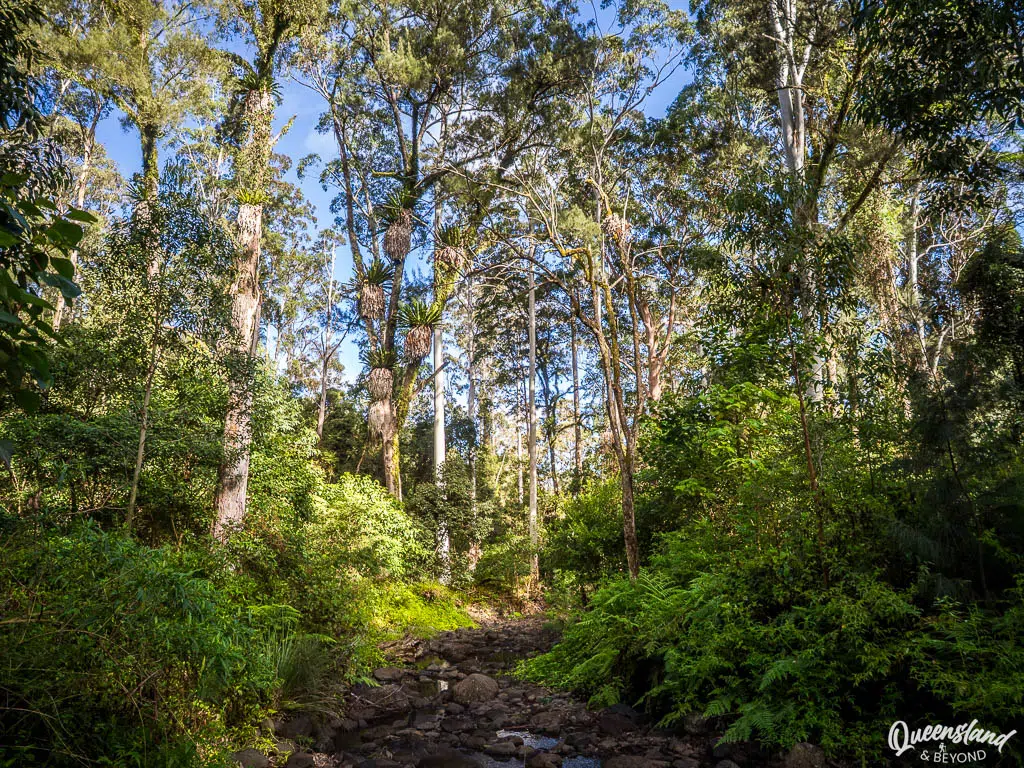
If you want a longer walk, combine it with the Cascades Circuit or the Ridge Track for an even longer hike.
2. CASCADES CIRCUIT
Cascades Circuit At a Glance
Continuing on from the Dalrymple Circuit, the Cascades Circuit winds its way through rainforest and later more open forest. You come past rock pools and cascades, some more attractive than others, as you follow Dalrymple Creek for the first half of the walk.
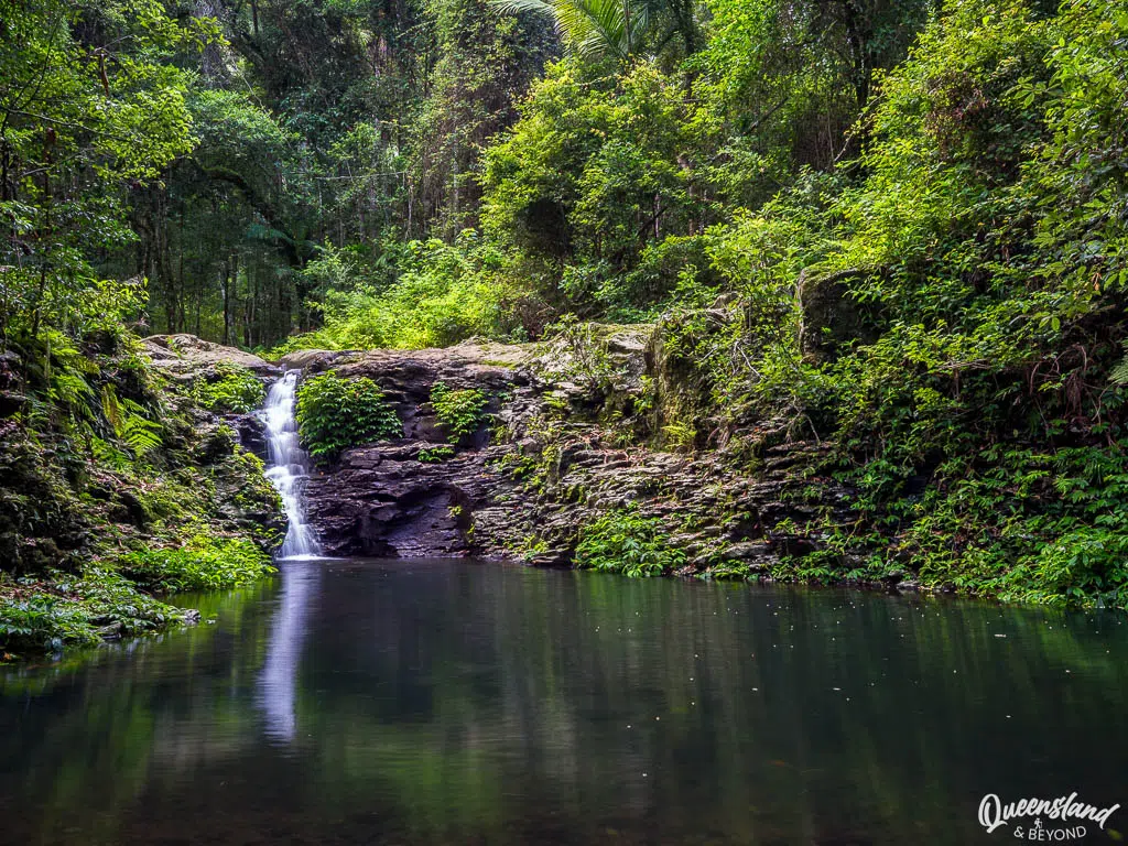
The actual cascades falls weren’t flowing very much last time we were there but it just depends on rainfall.
You can either complete the loop heading back into the rainforest or take the Ridge Track to extend your hike even further.
3. RIDGE TRACK
Ridge Track At a Glance
It’s a relatively quick walk if you just walk the Ridge Track as a loop (using part of the Cascades Circuit to loop back). But you can turn it into a half day walk by combining it with the Cascades Circuit and the Dalrymple Circuit.
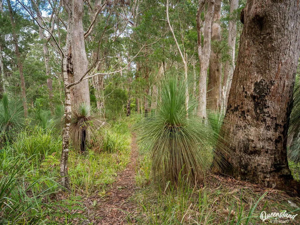
That said, if it’s wet, just doing the Ridge Track is a better option as you’ll be higher and walking through open forest rather than getting leeches in the rainforest parts.
You only get intermittent views along the ridge line—you really have to peek out in between the trees—but where this track shines is the beautiful grass trees that abound in the higher elevation.
4. ARAUCARIA FALLS
Araucaria Falls At a Glance
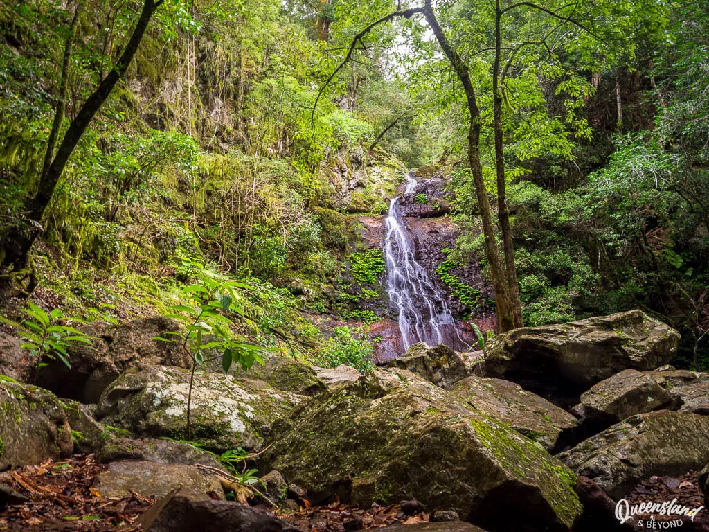
The Araucaria Falls track is quick but slightly uphill walk through a gully to a small waterfall flowing down a rock slope. It can be quite a muddy walk if there’s been much rain, and you may be joined by a leech or two as you’re traipsing through the rainforest.
5. WINDER TRACK
Winder Track At a Glance
The Winder Track is more exercise than incredible hike but it is still a somewhat pleasant walk through open forest, albeit on an old vehicle track.
At the end of the track is a clearing where a rusted, giant winch awaits—once used for logging when this part of Main Range was actively forest harvesting. The husband found it quite fascinating because he used to work with machinery; I, on the other hand, focused on eating my lunch.
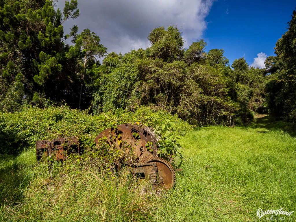
Even though you walk along the edge of the escarpment and you can almost see the valley and ranges beyond, you don’t get clear views—it’s more a hint of a view than an actual view.
Unless you’ve done all the other walks, need more exercise or are particularly interested in logging history, this walk might be one to miss.
6. MORE SHORT WALKS & LOOKOUTS AT GOOMBURRA
There are a couple of lookouts at Goomburra that are only a quick walk away; both face more or less directly into the sun and the more humidity, the more haze you’ll have as well.
- North Branch Track—Grade 3 (easy), 1km return: Starting near the Kurrajong picnic area (before the camping areas), it’s now a short rainforest walk along a creek (used to be a longer 7km walk)
- Mount Castle Lookout—Grade 3 (easy), 960m return: Impressive views of Mount Castle, definitely worth the short walk
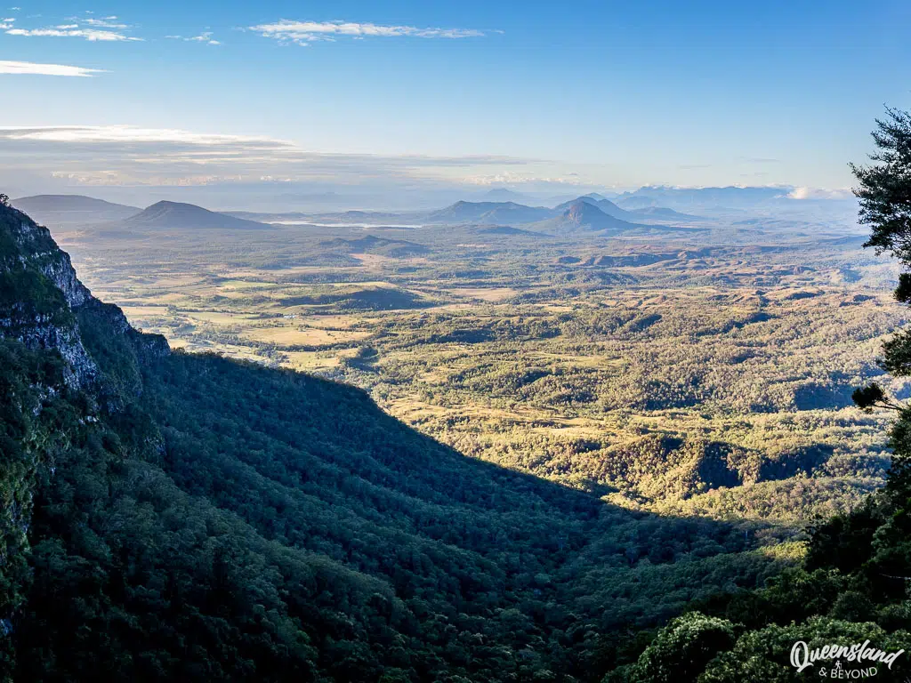
- Sylvester Lookout—Grade 3 (easy), 940m return: Easy, quick walk to a constructed lookout for some sweeping views towards Lake Moogerah and beyond
QUEEN MARY FALLS
Unlike the other three sections, which are geographically close (even though it takes time to drive from one to the other), the Queen Mary Falls section is much further south, i.e. almost at the border to NSW.
But if you want maximum reward for minimum effort, this section is the place to head to, just note that if you’re coming from Boonah, the road is very tight and windy in spots and dragging a caravan won’t be much fun.
Looking for more adventure? Combine your visit to Queen Mary Falls with a drive down the Condamine River Road—a fantastic beginner 4WD track, provided it isn’t closed due to flooding—or take the sealed Falls Drive to Killarney instead.
1. CLIFF CIRCUIT
Cliff Circuit At a Glance
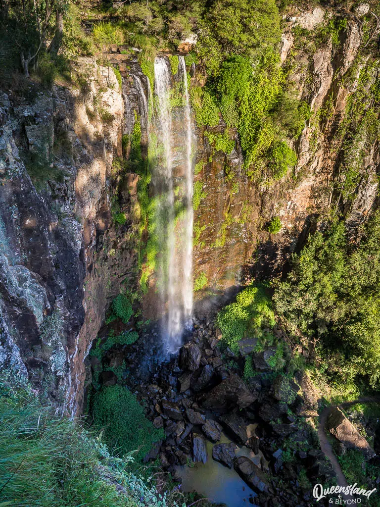
Involving almost zero effort, you can see Spring Creek (feeding the river system that eventually forms the Murray Darling) tumble down a steep 40m cliff at the aptly named Cliff Lookout. It’s a paved track so suitable even for wheelchairs and prams.
2. QUEEN MARY FALLS CIRCUIT
Queen Mary Falls Circuit At a Glance
If you want a bit more exercise, continue on from the Cliff Lookout to the base of Queen Mary Falls, just remember that you’ll have to climb out of the gorge again afterwards.
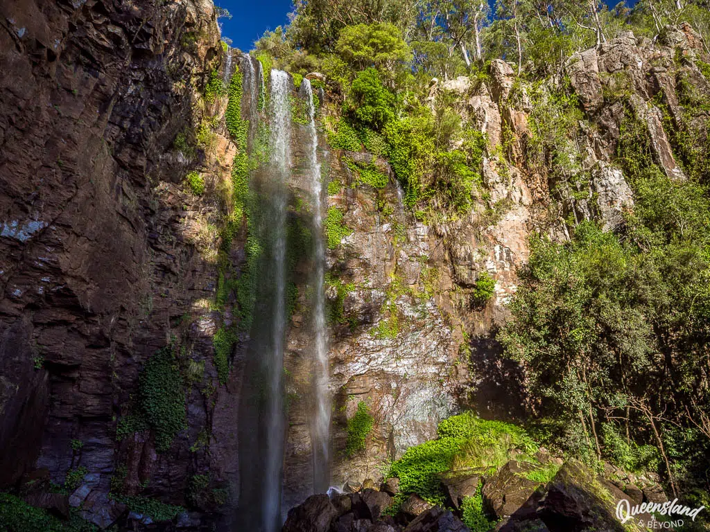
The falls tend to be most impressive after rain, or in late summer/early autumn before the dry season begins. It’s a great walk for a hot summer day as it’s a bit cooler in the gorge and the rainforest; plus, you can get soaked in the misty spray of the waterfall.
READY TO EXPLORE MAIN RANGE?
Main Range is one of the best national parks in South East Queensland, offering something for everyone (provided you like nature, that is). If you’re keen on an overnight hike, there’s the 4-day Scenic Rim Trail and plenty of remote walk-in campsites.
If you don’t mind popular day walks and want to see sprawling views, head to Cunninghams Gap and hike the peak trails. For much less effort but equally impressive sights, Queen Mary Falls will do the trick. And for a quieter hiking experience and camping, Goomburra or Spicers Gap will be just right.
In any case, you won’t see it all in a day so either stick to one or two sections, or plan more days.
Happy hiking,

Main Range Resources
Note: Check park alerts before heading out—mist, heavy clouds, and wet conditions can reduce visibility and make exposed ridge walks like Mount Cordeaux and Mount Mitchell quite slippery.
No Comments