Nitmiluk National Park is on Jawoyn Country. I acknowledge the Traditional Custodians of this area and their connection to Country, and pay my respects to their Elders past and present.
Hiking in Nitmiluk National Park (formerly Katherine Gorge National Park) is where I learned about heat stress.
It’s a seriously gorgeous part of Australia full of rainforest gullies, sandstone cliffs and sweeping valley vistas. But it’s also hot, incredibly hot. Temperatures in early September easily soar above 40°C and that’s not even the hottest time of the year.
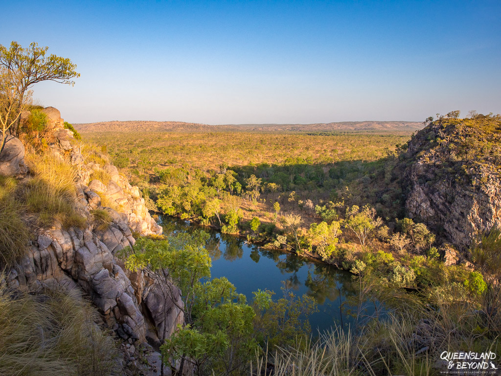
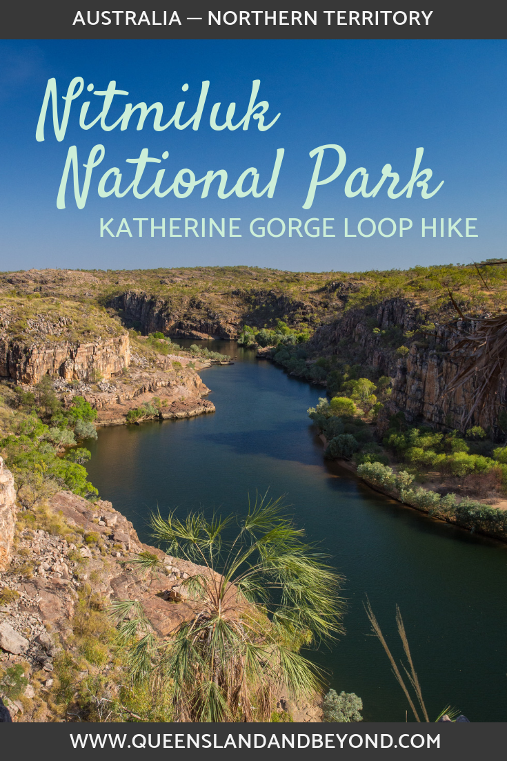
Nitmiluk National Park, located some 30 km southeast of Katherine in the Top End, is largely about the deep sandstone gorge that the Katherine River flows through. Up to nine sections of the gorge are accessible and it truly is a stunning spot.
Much like Kakadu National Park, Nitmiluk is an ancient region imbued with Aboriginal culture and history. But unlike many other national parks in Australia, Nitmiluk is owned and run by its Traditional Custodians, the Jawoyn.
SOUTHERN KATHERINE GORGE WALK: HIKING TO JEDDA’S ROCK
The gorge section is the most popular spot in Nitmiluk with thousands of visitors coming every year to explore the Katherine River by boat or canoe. In the wet season, waterfalls come to life but this also means that crocodiles move in, making paddling tours and fishing trips impossible.
That said, those crocodiles shouldn’t be a bother if you’re hiking but instead you will have to deal with oven-like conditions for most of the year.
The national park is actually much larger than just the gorge section. There are day hikes along the escarpment as well as overnight ones that take you deep into the gorge and into far more remote areas of the park.
We only had one full day at Nitmiluk so we opted for a 12 km day hike that took us to Pat’s Lookout and from there to Jedda’s Rock before looping back to the start.
BASIC TRAIL INFO (WINDOLF, WALEKA AND YAMBI WALK LOOP)
Distance: 12km loop with some elevation gain (+ 0.9km return to the Southern Rockhole)
Difficulty: Moderate but can be strenuous in hot weather (best time to go are the cooler months May-late August)
Time: 4-5 hours
Trailhead: Nitmiluk Visitor Centre / carpark

1. UP ONTO THE ESCARPMENT: BARUWEI LOOKOUT
If you’re only there for a short time, you could simply climb up to Baruwei Lookout, which offers fabulous views over the Katherine River. It’s a 1.8 km return walk, and will take around an hour.
And if you’re there during the hotter months, this may be all you can stomach as temperatures were still around 33°C at 8 pm when we were there in early September.
The trail up the cliff face to the lookout can be a little bit hard to spot though.
From the Visitor Centre, follow the trail along the river and basically head towards the grassy area with trees full of bats. You can’t miss them, just follow the sickly sweet stench of some 50,000 bats. At the end of the grass area, the trail becomes sand and there isn’t really much of a marker so just follow the sandy trail until you reach the stairs leading out of the gorge.
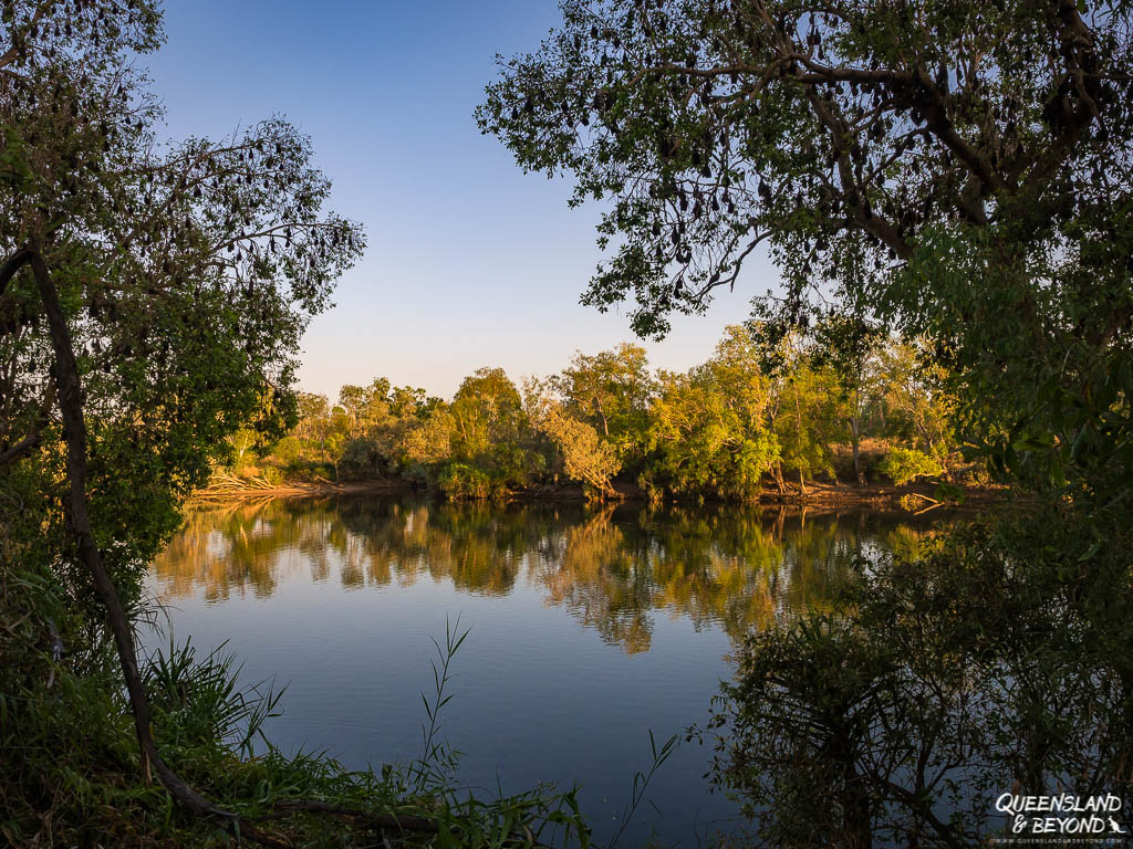


The view from the lookout is fantastic and if you climb up about an hour before sunset, you’ll see the bat colony take flight and soar through the gorge for their nightly feast. It’s quite a sight, and one that easily made it into our highlights in the Northern Territory.

We hiked up the first night to see the bats taking flight, and then did it all again the next morning on our way to Pat’s Lookout.
2. PAT’S LOOKOUT (WINDOLF WALK)
Once you’ve climbed up the gorge, the next leg to Pat’s Lookout is about 4.5 km (not including a side trip to the Southern Rockhole) but it’s relatively flat. The trail is either dirt or sand with occasional rock hopping required.
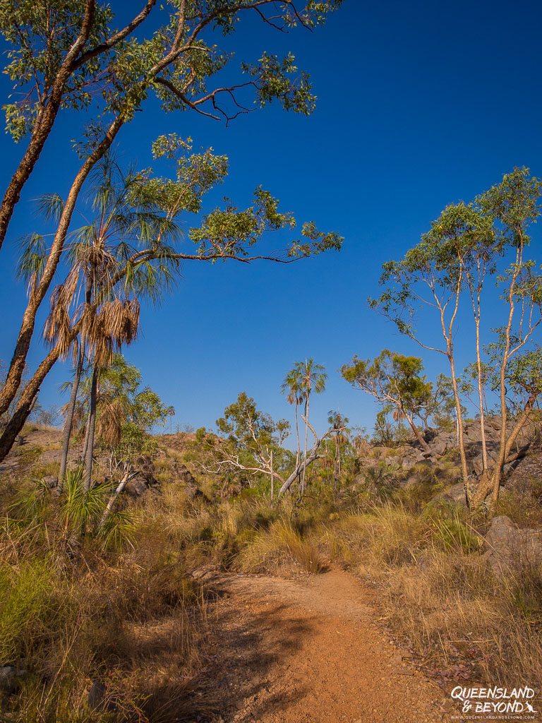
And although there are trees, there’s very little shade. Early in the morning this didn’t feel too bad but by the end of our hike, I was pretty cooked.
Once you get to Pat’s Lookout, just enjoy the view for a moment. It’s a really nice spot, giving you sweeping views of the river winding around almost 90° corners.

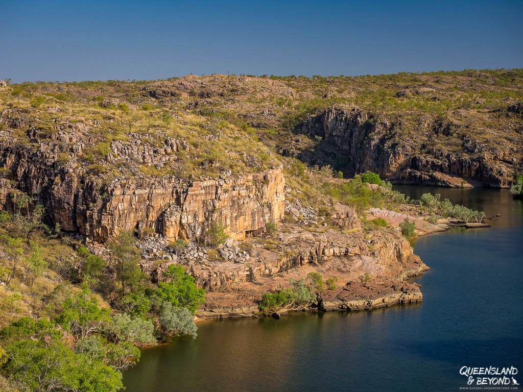
Pat’s Lookout would make a good destination and turn-around point if you think you’ve had enough. The trail up to here is well-established, and there isn’t too much “spot the next marker” going on yet.
If you wanted to, you could also climb down into the gully to the Southern Rockhole (0.9 km return) but be warned, there may be very little water in the waterhole if you’re there at the end of the dry season. It’ll all be rather uninspiring at this time of the year.
We climbed down – and in hindsight shouldn’t have as we lost valuable time – and the water was very brackish. Obviously there was no water flowing down the cliffs in early September but I’ve seen pictures showing raging waterfalls and a beautiful rock pool during the wet season, looking very inviting for a quick dip indeed.

3. JEDDA’S ROCK (WALEKA WALK)
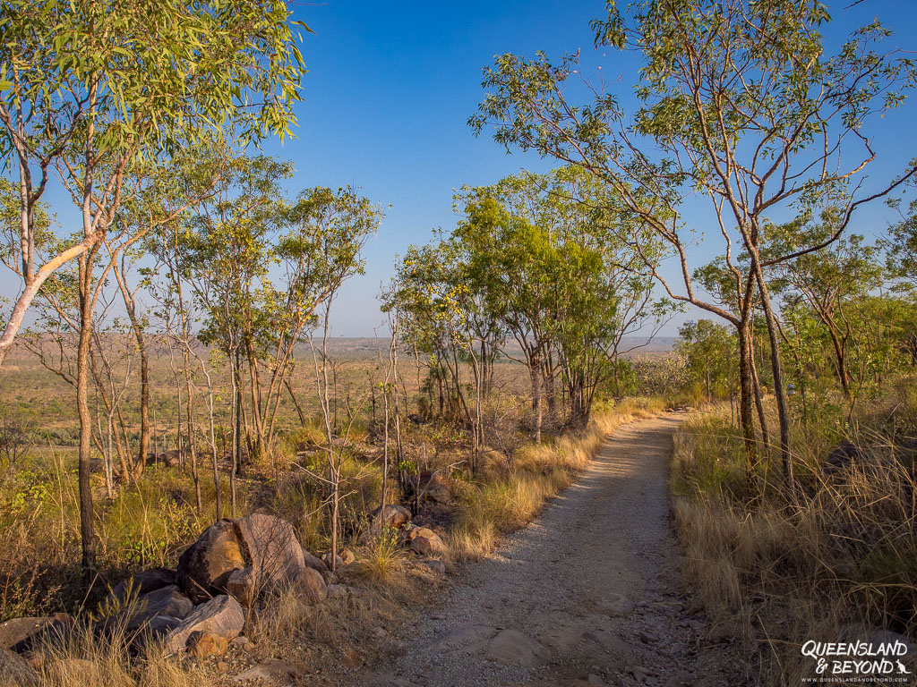
From Pat’s Lookout it’s only 0.8 km to Jedda’s Rock but the trail becomes much narrower and paying attention to trail markers is increasingly important. There are green triangle markers in the trees so make sure you keep an eye out for them to guide you over the rocky terrain.
We got a bit lost at one point as there are also some old black markers that took us down an overgrown track to the cliff edge where the trail completely disappeared. So back we tracked until we saw a familiar green marker again, and realised that we had indeed gone offtrack.
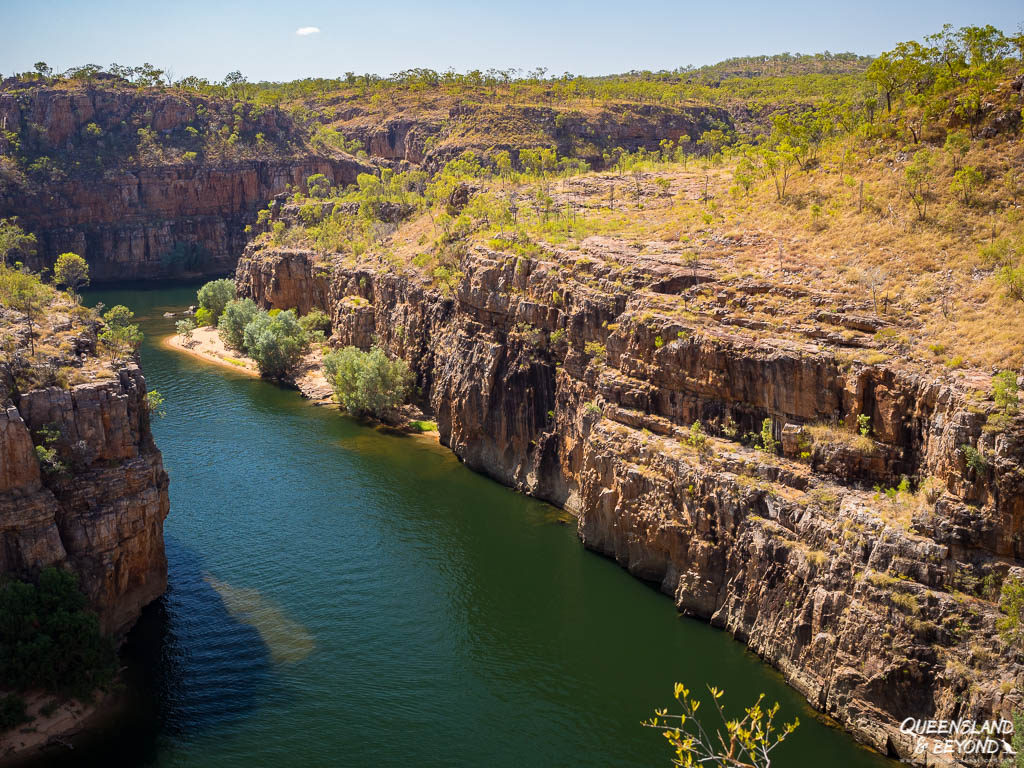

Once you hit Jedda’s Rock and take a break from the arduous 800m you’ve just walked, you’re in for a treat. The next 1.65km are a rocky scramble where you are constantly on the lookout for markers.
4. RETURN LOOP (YAMBI WALK)
I was getting a bit irritated by then as this bit’s not a particularly scenic part of the hike, the heat was beginning to be oppressive, and we had to concentrate on spotting the markers whilst also focusing on where to step given the terrain (and bung knees).

At Butterfly Gorge junction (1.65km from Jedda’s Rock), we very, very briefly contemplated taking a detour down into the gully but I decided that I was already way too exhausted to do that.
Turns out that plenty of people get themselves picked up at the end of Butterfly Gorge by one of the many tour boats cruising the river because they’re simply too hot and exhausted to walk back. That’s one way of scoring a free boat trip through the gorge!
But in our ignorance, we took the Yambi Walk to finish our hike and loop back to the Visitor Centre / carpark.
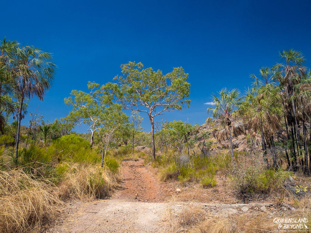
This last leg from Jedda’s Rock to the Visitor Centre ended up being about 5.7 km, and whilst that doesn’t sound much for a general day hike, the heat had turned extreme by then, with temperatures well over 40°C and no shade in sight.
OTHER HIKING TRAILS
BARUWEI LOOP (4.8KM)
If you’re keen to go on a longer walk than just to Baruwei Lookout but don’t want to do a full day hike, you could just do the Baruwei Loop. You basically climb up to the lookout, then hike along the escarpment and loop back to the Visitor Centre from there.
It’s a 4.8km well-signed walk, and once you’ve made it to the lookout, it’s fairly flat. It’s a nice alternative and you won’t need to start really early to do this walk (but obviously don’t do it in the middle of the day if it’s hot).
My family did this shorter loop and really enjoyed it.
JAWOYN VALLEY (~40KM)
If you’re there for longer in the cooler months, doing an overnight hike in the Southern Walks section would probably be really fantastic.
There are some remote rock art sites at Jawoyn Valley but it’ll take 2-3 days (about 40km) to get there. You could also arrange a boat shuttle that takes you to Butterfly Gorge (at the start of Gorge #3) or even as far as Smitt Rock (Gorge #5), or you can paddle there yourself.
JATBULA TRAIL (62KM)
Another option is the even longer 62km Jatbula Trail (5-6 days) from Katherine River to the Edith Falls section of the national park.
There are lots of waterholes and waterfalls along this trail so doing this walk earlier in the dry season might be better if you’re after a refreshing dip.
It’s very popular though so book early.
WHEN TO GO: BE HEAT-SMART
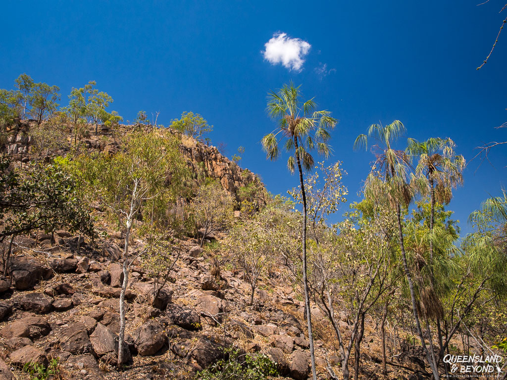
Depending on your experience, tolerance and preparation for dealing with ferocious heat, you may find September or October still a feasible time for hiking. But be warned, temperatures on the escarpment are frequently at least 10°C higher than down near the river. Park rangers might even close hikes or sections of them.
The best months for hiking at Nitmiluk National Park are late April to early September. My preference is strongly skewed towards June and July, the coolest months when temperatures range between 30°C during to the day to 10°C at night.
Park rangers will have plenty of heat advice so if you’re unsure, go and have a chat with them. They’ve got a staffed desk at the Nitmiluk Visitor Centre, and they are super helpful.
IMPORTANT THINGS TO REMEMBER FOR AVOIDING DEHYDRATION:
- Wear a broadrimmed hat and sunscreen
- Wear appropriate (thin, long-sleeved) clothing
- Carry at least 3 litres of water per person (more available along the trail)
- Make sure you drink plenty of water (don’t just carry it, drink it! I sometimes forget to drink)
- Hydrate before you even leave AND the day before
- You may also want to take a small water bottle with electrolytes to help you keep your fluids up (this is what I now do on hot weather hikes)
- Go as early as possible, e.g. at 5 am
- Avoid (= don’t go) during the heat of the day
- Choose a shorter hike if it’s a hot day or just rest
This all might sound slightly ridiculous but park rangers regularly treat people for heat stress and dehydration here.
I was one of them and ended up at the Katherine District Hospital with heat stress by 5 pm that day. I spent my afternoon dealing with vomiting, diarrhea, nausea, heart palpitations, shivering, severe headaches, and lying on the floor at the ranger’s hut with an oxygen mask on my face until the ambulance arrived to put me on a saline drip. All the while feeling incredibly stupid for getting so severely dehydrated.
So be sensible and take the heat seriously.
A note on water availability: You don’t have to carry all the water with you as rangers have installed several water tanks and taps along the various tracks (see the map above). Be mindful of not wasting any water as there isn’t a lot around in the dry season.
WHERE TO STAY
There are a few options if you want to stay in Nitmiluk National Park. All of them need to be booked through Nitmiluk Tours who operate the national park, including any commercial boat tours, helicopter trips, or accommodation options.
They offer powered and unpowered campsites as well as permanent tents and some low-key cabins (chalets). My family stayed in one of the safari-style tents, and loved it!
For those, you’ll use the shared amenities block but you can sleep in a bed and are provided with towels. Best of all, you get breakfast and dinner vouchers included! So if camping isn’t quite your thing, this is a great alternative.
And like many caravan parks in the Northern Territory, the campground includes a resort-style pool and bistro.
The other option, of course, is to stay in Katherine and drive out the 30 km to the national park for the day.
FINAL THOUGHTS
Nitmiluk National Park turned out much more spectacular than I expected. It was also way hotter than I expected.
Hiking along the escarpment and then along the gorge really makes this a fabulous hike, and I think exploring Butterfly Gorge (yes, it’s apparently full of butterflies!) would be amazing! Come prepared and then enjoy this area!
If it’s too hot, just climb up to Baruwei Lookout at night and watch the bats soar through the gorge. It’s nothing short of spectacular.
Despite the somewhat scary heat stress episode, I’d definitely like to return to this part of Australia and paddle the Katherine River in a canoe. I might even want to go on another hike once I manage to get my heat anxiety under control and I’m there at a cooler time of the year.

One other thing I’d love to do at Nitmiluk is learn more about the Jawoyn culture and their stories. Nitmiluk Tours offer cultural safaris to private rock art sites, and I reckon that would be pretty interesting!
Happy hiking,

MORE INFORMATION
Find more information about Nitmiluk National Park and hiking one of the southern Katherine Gorge walks on the Northern Territory Nitmiluk website. The Southern Walks guide is particularly helpful for planning shorter or longer hikes in the southern Katherine River region.
For tours and accommodation, check out Nitmiluk Tours.
PIN FOR LATER



4 Comments
Lexa
21 September 2019 at 4:32 PMHi Kati!
You have a brilliant blog on Australia and its fascinating places.
Very informative and valuable information with stunning images.
A very professionally layed out site. Bravo!
I’m soooo glad you shared your experience on the effects of the heat and the importance of ‘drinking’ (not sipping) water.
Most people do not understand how much you need to drink – if you are thirsty, you are already dehydrated.
I did this walk at the beginning of May – yes hot – but bearable.
Carrying 4 litres and topped up at the water stations along the way and still came back empty at the end of the day.
The NT is a glorious yet savage part of Australia – you need to be well informed and that is what you have done on this site – informed!
Cheers, Lexa 🙂
Kati
27 September 2019 at 3:21 PMHi Lexa,
Wow, thank you heaps for your lovely comment(s)!! 😀
Yes, heat stress is a real issue when you’re hiking in the NT (and so many other places in Australia). I was so ill that day (and the following days) and really only because I was stupid. We didn’t leave early enough and I didn’t drink enough – two things I could have easily avoided. I’ve lived in Australia for almost 20 years now so I should have known better. But anyway, since then I’ve been a lot more aware and sensible about hiking in hot weather. 🙂
I can imagine that Nitmiluk would still be very hot in early May – sounds like you were a lot smarter than me though with your water intake!! Did you take a cruise or do a paddle through the gorge as well? My family went but I missed out (since I was in hospital), and they said it was amazing.
Thanks so much for commenting (and apologies for the slow response, we’ve just been away).
Lexa
27 September 2019 at 9:23 PMA lot of people get caught with the heat/water issue.
So unfortunate for you to end up in hospital yet were OK – sadly, some pay a heavier price.
I bumped into a ranger filling up the water tanks, he said during summer, he would drink up to 10 litres a day! I felt slightly unprepared with only 4 litres.
I only did the hike as there wasn’t much water in the gorge at the time and it would have been very limited how far up we could travel through the gorges.
Yet I did go for a quick swim at the end of Butterfly Gorge.
I met a woman who hiked further and camped overnight on a ‘beach’ at Eighth Gorge.- she said it was an incredible experience! That will be a must next time.
I travelled around Aust for three years on a project by myself. With no back up I had to be cautious – so I was annoyingly asking heaps of questions everywhere I went on a broad range of subjects. 🙂
Again – I commend you for the amount of valuable information you have on all your posts.
You certainly have hiked to more places than the majority of people.
L:)
Kati
29 September 2019 at 5:32 PMHi Lexa,
Yes, I never realised how serious heat stress was until I landed myself in hospital with a drip. It all turned out ok (minus some lingering anxiety about hiking in hot weather now, though I’m getting better about that).
Yes, I heard that you can overnight hike to some campsite at the end of the accessible gorge, that’s incredible and I’m sure would be an amazing experience. Waking up in the gorge and seeing the light come up over the rocks, brilliant colours, I’m sure!
Wow, sounds like you’ve done an amazing trip, three years!! The husband and I keep talking about heading off for a year but so far it’s not progressed past the “wouldn’t it be amazing?!” dream stage, haha. Which part or place did you love beyond all others? Or is that a hard thing to decide??